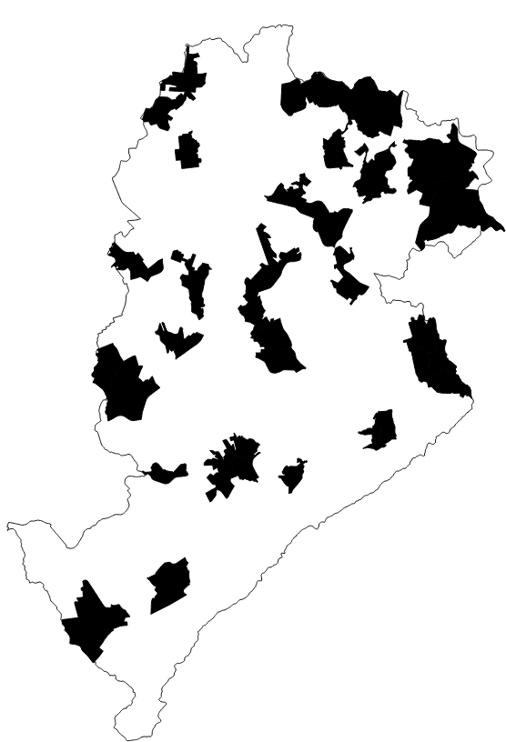
TERRITÓRIO CRAS BELO HORIZONTE
Delimitação das áreas com maior índice de vulnerabilidade social, para atendimento pelos CRAS (Centro de Referência da Assistência Social) em Belo Horizonte.
|
|
(2022) . TERRITÓRIO CRAS BELO HORIZONTE. http://geonetwork.pbh.gov.br/geonetwork/srv/api/records/2ab4503c-239f-479d-a976-15451f39dc88 |
inspire
identificationInfo
- Identificador do ficheiro
- 2ab4503c-239f-479d-a976-15451f39dc88 XML
Online resource
- resource_protocol
- WWW:DOWNLOAD-1.0-http--download
Resource identifier
- Languagem
- Portuguese
- Tipo de representação espacial
- Vector
Encoding
- Format
- Version
Projection
- code
- SIRGAS 2000 - UTM ZONA 23 S
Classification of data and services
- Categoria de tópico
-
- Assitencia Social, atendimento ao Cidadão
Classification of data and services
Coupled resource
Coupled resource
Classification of data and services
Coupled resource
Coupled resource
noThesaurusName
Other keywords
- ( Tema )
-
- assistencia , CRAS , territorio , social , cidadania
bboxesSection
N
S
E
W
))
Temporal reference
Temporal extent
Temporal extent
- Data ( Publicação )
- 2022-04
- Data
Quality and validity
- Lineage
- A delimitação dos territórios CRAS estão presentes em diagnósticos realizados pelo Plano Municipal de Assistência Social de periodicidade quadrienal em que são apresentados estudos que resultaram na concepção dos territórios.
Conformity
Conformity
Conformity
Conformity
Conformity
Conformity
Restrictions on access and use
- Access constraints
Restrictions on access and use
Responsible organization (s)
Contact for the resource
- Organisation name
- PRODABEL
- bhgeo@pbh.gov.br
Responsible organization (s)
Contact for the resource
- Organisation name
- PRODABEL
- bhgeo@pbh.gov.br
Metadata information
Contact for the metadata
- Organisation name
- PRODABEL - SGS
- bhgeo@pbh.gov.br
- Date stamp
- 2022-05-12T09:15:15
- Languagem
- Portuguese
- Character set
- UTF8