BREJO BELO HORIZONTE
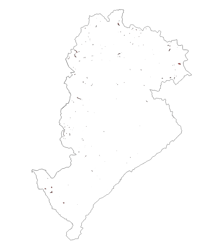
Delimitação das áreas de terrenos alagadiços no município de Belo Horizonte.
|
|
(2022) . BREJO BELO HORIZONTE. http://geonetwork.pbh.gov.br/geonetwork/srv/api/records/921e4d56-d6e5-4468-9506-6b73dd67e7db |
inspire
identificationInfo
- Identificador do ficheiro
- 921e4d56-d6e5-4468-9506-6b73dd67e7db XML
Online resource
- resource_protocol
- WWW:DOWNLOAD-1.0-http--download
Resource identifier
- Languagem
- Portuguese
- Tipo de representação espacial
- Vector
Encoding
- Format
- Version
Projection
- code
- SIRGAS 2000 - UTM ZONA 23 S
Classification of data and services
- Categoria de tópico
-
- Meio Ambiente e Geologia
Classification of data and services
Coupled resource
Coupled resource
Classification of data and services
Coupled resource
Coupled resource
noThesaurusName
Other keywords
- ( Tema )
-
- brejo , hidrografia , drenagem
bboxesSection
N
S
E
W
))
Temporal reference
Temporal extent
Temporal extent
- Data ( Publicação )
- 2022-04
- Data
Quality and validity
- Lineage
- A delimitação dos Brejos estão presentes em diagnósticos realizados pelo Plano Diretor de Drenagem Urbana de periodicidade bienal em que são apresentados estudos que resultaram na concepção dos mesmos.
Conformity
Conformity
Conformity
Conformity
Conformity
Conformity
Restrictions on access and use
- Access constraints
- Creative Commons Attribution (CC BY)
Restrictions on access and use
Responsible organization (s)
Contact for the resource
- Organisation name
- PRODABEL
- bhgeo@pbh.gov.br
Responsible organization (s)
Contact for the resource
- Organisation name
- PRODABEL
- bhgeo@pbh.gov.br
Metadata information
Contact for the metadata
- Organisation name
- PRODABEL - SGS
- bhgeo@pbh.gov.br
- Date stamp
- 2022-07-20T09:40:44
- Languagem
- Portuguese
- Character set
- UTF8