SONDAGEM GEOTÉCNICA BELO HORIZONTE
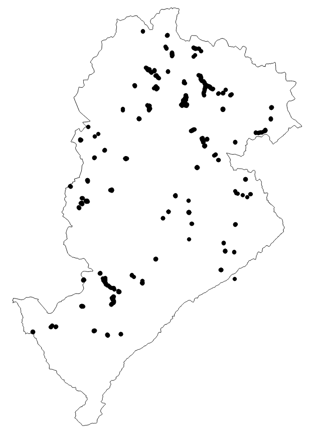
Localização e relatórios onde foram realizadas sondagens para identificação dos solos e/ou rochas que formam as camadas ou estratos na subsuperfície no município de Belo Horizonte.
|
|
(2020) . SONDAGEM GEOTÉCNICA BELO HORIZONTE. http://geonetwork.pbh.gov.br/geonetwork/srv/api/records/202a054d-ec63-4081-a593-3558c6bac0f8 |
inspire
identificationInfo
- Identificador do ficheiro
- 202a054d-ec63-4081-a593-3558c6bac0f8 XML
Online resource
- resource_protocol
- WWW:DOWNLOAD-1.0-http--download
Resource identifier
- Languagem
- Portuguese
- Tipo de representação espacial
- Vector
Encoding
- Format
- Version
Projection
- code
- SIRGAS 2000 - UTM ZONA 23 S
Classification of data and services
- Categoria de tópico
-
- Meio Ambiente e Geologia
Classification of data and services
Coupled resource
Coupled resource
Classification of data and services
Coupled resource
Coupled resource
noThesaurusName
Other keywords
- ( Tema )
-
- furo , sondagem , geotecnia , topografia
bboxesSection
N
S
E
W
))
Temporal reference
Temporal extent
Temporal extent
- Data ( Publicação )
- 2020-08-31
- Data
Quality and validity
- Lineage
- O mapeamento das investigações geotécnicas consiste em mapear os locais onde foram realizadas as perfurações e disponibilizar o relatório elaborado com os resultados. As sondagens são executadas conforme normas e critérios pré-definidos em projeto.
Conformity
Conformity
Conformity
Conformity
Conformity
Conformity
Restrictions on access and use
- Access constraints
- Creative Commons Attribution (CC BY)
Restrictions on access and use
Responsible organization (s)
Contact for the resource
- Organisation name
- PRODABEL
- bhgeo@pbh.gov.br
Responsible organization (s)
Contact for the resource
- Organisation name
- PRODABEL
- bhgeo@pbh.gov.br
Metadata information
Contact for the metadata
- Organisation name
- PRODABEL - SGS
- bhgeo@pbh.gov.br
- Date stamp
- 2022-08-02T12:33:55
- Languagem
- Portuguese
- Character set
- UTF8