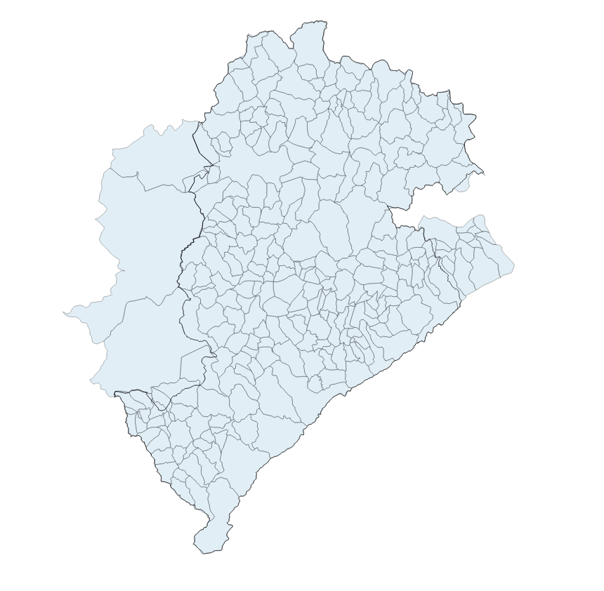
SUB-BACIA HIDROGRÁFICA BELO HORIZONTE
Área de drenagem dos afluentes do curso d'água principal das bacias inseridas no município de Belo Horizonte.
|
|
(2000) . SUB-BACIA HIDROGRÁFICA BELO HORIZONTE. http://geonetwork.pbh.gov.br/geonetwork/srv/api/records/3f8dbe77-8d7e-46d0-9995-8ad380efbf2c |
inspire
identificationInfo
- Identificador do ficheiro
- 3f8dbe77-8d7e-46d0-9995-8ad380efbf2c XML
Online resource
- resource_protocol
- resource_protocol
- WWW:DOWNLOAD-1.0-http--download
Resource identifier
- Languagem
- Portuguese
- Tipo de representação espacial
- Vector
Encoding
- Format
- Version
Projection
- code
- SIRGAS 2000 - UTM ZONA 23 S
Classification of data and services
- Categoria de tópico
-
- Meio Ambiente e Geologia
Classification of data and services
Coupled resource
Coupled resource
Classification of data and services
Coupled resource
Coupled resource
noThesaurusName
- All Keywords ( none )
-
- All Keywords ( none )
-
Other keywords
- ( Tema )
-
- bacia , hidrografica , recursos , hidricos , drenagem , sub bacia
bboxesSection
N
S
E
W
))
Temporal reference
Temporal extent
Temporal extent
- Data ( Publicação )
- 2000
- Data
Quality and validity
- Lineage
- A delimitação das Sub-Bacias Hidrográficas está presente em diagnósticos realizados pelo Plano Diretor de Drenagem Urbana de periodicidade bienal em que são apresentados estudos que resultaram na concepção das Sub-Bacias Hidrográficas.
Conformity
Conformity
Conformity
Conformity
Conformity
Conformity
Restrictions on access and use
- Access constraints
- Creative Commons Attribution (CC BY)
Restrictions on access and use
Responsible organization (s)
Contact for the resource
- Organisation name
- PRODABEL - SUGE
- bhgeo@pbh.gov.br
Responsible organization (s)
Contact for the resource
- Organisation name
- PRODABEL - SUGE
- bhgeo@pbh.gov.br
Metadata information
Contact for the metadata
- Organisation name
- PRODABEL - SUGE
- bhgeo@pbh.gov.br
- Date stamp
- 2022-11-16T14:55:29
- Languagem
- Portuguese
- Character set
- UTF8