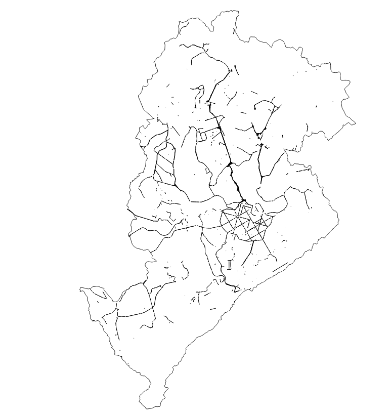
CANTEIRO CENTRAL BELO HORIZONTE
Polígonos dos obstáculos físicos construídos como separador de pistas de rolamento, eventualmente substituído por marcas viárias, no município de Belo Horizonte.
Frequência de Atualização: DIÁRIA
|
|
(2025) . CANTEIRO CENTRAL BELO HORIZONTE. http://geonetwork.pbh.gov.br/geonetwork/srv/api/records/5453dd16-5e10-41c9-9ddc-4e3d1c87ec63 |
inspire
identificationInfo
- Identificador do ficheiro
- 5453dd16-5e10-41c9-9ddc-4e3d1c87ec63 XML
Online resource
- resource_protocol
- WWW:DOWNLOAD-1.0-http--download
Resource identifier
- Languagem
- Portuguese
- Tipo de representação espacial
- Vector
Encoding
- Format
- Version
Projection
- code
- SIRGAS 2000 - UTM ZONA 23 S
Classification of data and services
- Categoria de tópico
-
- Mapa Urbano Básico e Localização
Classification of data and services
Coupled resource
Coupled resource
Classification of data and services
Coupled resource
Coupled resource
noThesaurusName
- All Keywords ( none )
-
- All Keywords ( none )
-
- All Keywords ( none )
-
Other keywords
- ( Tema )
-
- canteiro , central , planejamento
bboxesSection
N
S
E
W
))
Temporal reference
Temporal extent
Temporal extent
- Data
- Data ( Publicação )
- 2025-04
Quality and validity
- Lineage
- Elaborado a partir de restituição aerofotogramétrica das imagens do aerolevantamento realizado em 2015 pela PBH, utilizando software de informação geográfica (SIG), com revisão periódica do setor responsável.
- Denominador
- 2000
Conformity
Conformity
Conformity
Conformity
Conformity
Conformity
Restrictions on access and use
- Access constraints
- Creative Commons Attribution (CC BY)
Restrictions on access and use
Responsible organization (s)
Contact for the resource
- Organisation name
- PRODABEL - SUGE
- bhgeo@pbh.gov.br
Responsible organization (s)
Contact for the resource
- Organisation name
- PRODABEL - SUGE
- bhgeo@pbh.gov.br
Metadata information
Contact for the metadata
- Organisation name
- PRODABEL - SUGE
- bhgeo@pbh.gov.br
- Date stamp
- 2022-07-20T09:43:28
- Languagem
- Portuguese
- Character set
- UTF8