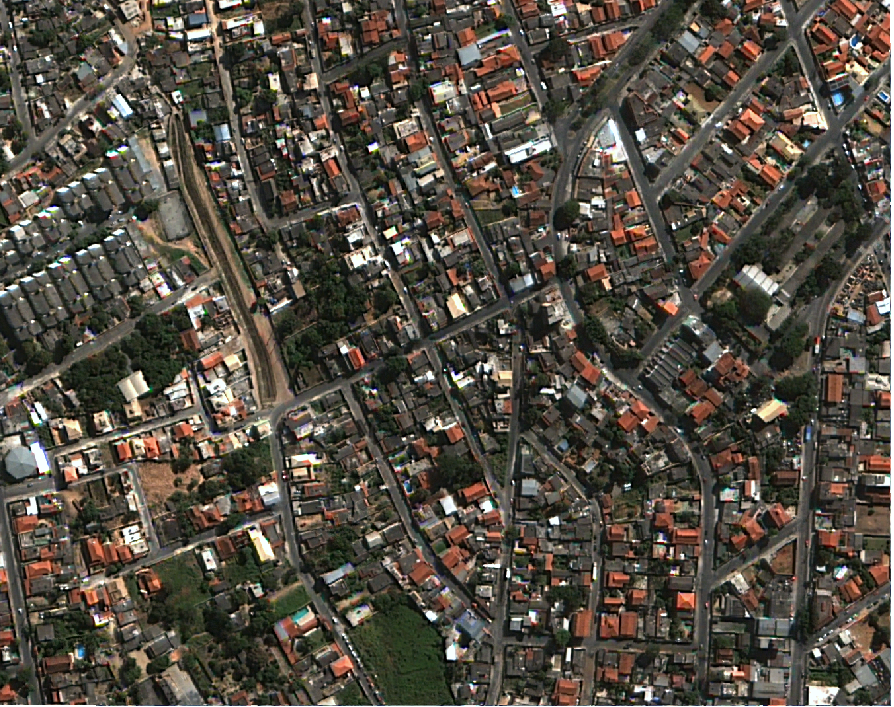
IMAGEM DE SATÉLITE 2012 BELO HORIZONTE
Conjunto de imagens de satélite da área urbana do município de Belo horizonte do ano 2012 e corrigidas digitalmente para representar um projeção ortogonal.
|
|
(2020) . IMAGEM DE SATÉLITE 2012 BELO HORIZONTE. http://geonetwork.pbh.gov.br/geonetwork/srv/api/records/5b2fd687-bd4e-49bf-b36a-920fae0a8dd4 |
default
- Data ( Publicação )
- 2020-08-31
- Data ( Criação )
- 2012-06-18
- Finalidade
- Imagem de satélite
- Credito
- Prefeitura de Belo Horizonte
- Status
- Concluído
Ponto de contacto
- Freqüência de atualização e manutenção
- Não planeado
- ( Tema )
-
- Imagem de Satélite 2012 , Imagem , satélite , 2012 ,
- Restrições de acesso
- Licença
- Uso de restrições
- Licença
- Outras restrições
- Creative Commons Attribution (CC BY)
- Tipo de representação espacial
- Vector
- Denominador
- 10000
- Languagem
- Portuguese
- Character set
- UTF8
- Categoria de tópico
-
- Imagens de Satélite, Foto Aérea, dados laser (LIDAR)
N
S
E
W
))
- Identificador de sistema de referência
- SIRGAS 2000 - UTM ZONA 23 S
Distribuidor
gmd:MD_Metadata
- Identificador do ficheiro
- 5b2fd687-bd4e-49bf-b36a-920fae0a8dd4 XML
- Languagem
- Portuguese
- Character set
- UTF8
- Date stamp
- 2022-11-16T14:43:16
- Nome padrão dos metadados
- ISO 19115:2003/19139
- Versão padrão dos metadados
- 1.0
Publicador
PRODABEL - SGS
-
GIGS - Gerência de Geoinformação
(Analista )
Belo Horizonte
GIGS - SGS
31230-000
Brasil