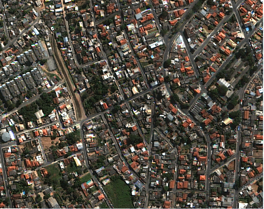
IMAGEM DE SATÉLITE 2012 BELO HORIZONTE
Conjunto de imagens de satélite da área urbana do município de Belo horizonte do ano 2012 e corrigidas digitalmente para representar um projeção ortogonal.
Frequência de Atualização: ESTÁTICA
|
|
(2020) . IMAGEM DE SATÉLITE 2012 BELO HORIZONTE. http://geonetwork.pbh.gov.br/geonetwork/srv/api/records/5b2fd687-bd4e-49bf-b36a-920fae0a8dd4 |
inspire
identificationInfo
- Identificador do ficheiro
- 5b2fd687-bd4e-49bf-b36a-920fae0a8dd4 XML
Online resource
Resource identifier
- Languagem
- Portuguese
- Tipo de representação espacial
- Vector
Encoding
Projection
- code
- SIRGAS 2000 - UTM ZONA 23 S
Classification of data and services
- Categoria de tópico
-
- Imagens de Satélite, Foto Aérea, dados laser (LIDAR)
Classification of data and services
Coupled resource
Coupled resource
Classification of data and services
Coupled resource
Coupled resource
noThesaurusName
- All Keywords ( none )
-
- All Keywords ( none )
-
- All Keywords ( none )
-
Other keywords
- ( Tema )
-
- Imagem de Satélite 2012 , Imagem , satélite , 2012 ,
bboxesSection
N
S
E
W
))
Temporal reference
Temporal extent
Temporal extent
- Data ( Publicação )
- 2020-08-28
- Data ( Criação )
- 2012-06-15
Quality and validity
- Lineage
- - GSD (Ground Sample Distance) máximo:50 cm.
- Denominador
- 10000
Conformity
Conformity
Conformity
Conformity
Conformity
Conformity
Restrictions on access and use
- Access constraints
- Creative Commons Attribution (CC BY)
Restrictions on access and use
Responsible organization (s)
Contact for the resource
- Organisation name
- PRODABEL - SUGE
- bhgeo@pbh.gov.br
Responsible organization (s)
Contact for the resource
- Organisation name
- PRODABEL - SUGE
- bhgeo@pbh.gov.br
Metadata information
Contact for the metadata
- Organisation name
- PRODABEL - SUGE
- bhgeo@pbh.gov.br
- Date stamp
- 2022-11-16T14:43:16
- Languagem
- Portuguese
- Character set
- UTF8