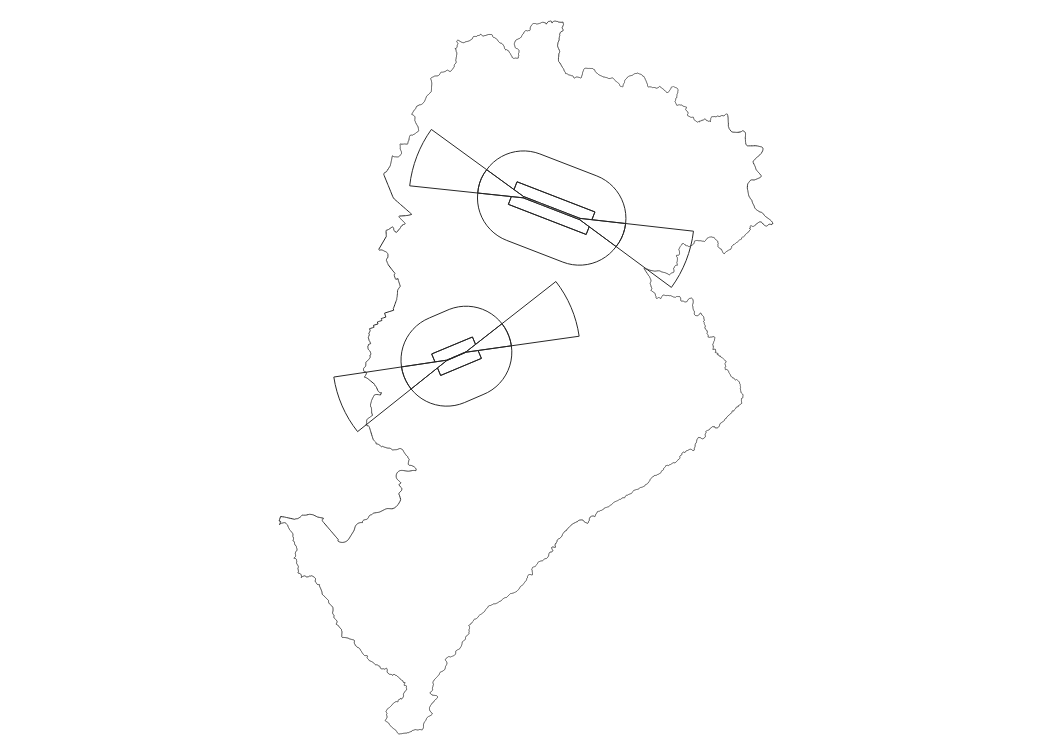
ÁREA COM RESTRIÇÃO DE VOO COM DRONE - BELO HORIZONTE
O dado apresenta as poligonais com os limites de permissividades, quanto a altura máxima de voo, em operações com a utilização de aeronaves não tripuladas, para uso em proveito dos órgãos ligados aos governos federal, estadual e municipal, em áreas de aproximação e decolagem de aeródromos, segundo a portaria DECEA n 109/DGCEA, de 22 de maio de 2020, que aprova a edição do MCA 56-3.
Frequência de Atualização: SOB DEMANDA
|
|
(2020) . ÁREA COM RESTRIÇÃO DE VOO COM DRONE - BELO HORIZONTE. http://geonetwork.pbh.gov.br/geonetwork/srv/api/records/d803b051-e13d-4542-8d1b-0a08247d3e65 |
inspire
identificationInfo
- Identificador do ficheiro
- d803b051-e13d-4542-8d1b-0a08247d3e65 XML
Online resource
- resource_protocol
- WWW:DOWNLOAD-1.0-http--download
Resource identifier
- Languagem
- Portuguese
- Tipo de representação espacial
- Vector
Encoding
- Format
- Version
Projection
- code
- SIRGAS 2000 - UTM ZONA 23 S
Classification of data and services
- Categoria de tópico
-
- Mapa Urbano Básico e Localização
- Imagens de Satélite, Foto Aérea, dados laser (LIDAR)
Classification of data and services
Coupled resource
Coupled resource
Classification of data and services
Coupled resource
Coupled resource
noThesaurusName
- All Keywords ( none )
-
- All Keywords ( none )
-
- All Keywords ( none )
-
- All Keywords ( none )
-
- All Keywords ( none )
-
- All Keywords ( none )
-
- All Keywords ( none )
-
- All Keywords ( none )
-
- All Keywords ( none )
-
- All Keywords ( none )
-
Other keywords
-
- Voo , Restrição , Drone
bboxesSection
N
S
E
W
))
Temporal reference
Temporal extent
Temporal extent
- Data ( Publicação )
- 2020-04-17
Quality and validity
- Lineage
-
Os limites de permissividades, foram elaborados por meio de estudos técnicos e por
definições constantes na portaria DECEA n 109/DGCEA, de 22 de maio de 2020, que
aprova a edição do MCA 56-3.
Conformity
Conformity
Conformity
Conformity
Conformity
Conformity
Restrictions on access and use
- Access constraints
- Creative Commons Attribution (CC BY)
Restrictions on access and use
Responsible organization (s)
Contact for the resource
- Organisation name
- PRODABEL - SUGE
- bhgeo@pbh.gov.br
Responsible organization (s)
Contact for the resource
- Organisation name
- PRODABEL - SUGE
- bhgeo@pbh.gov.br
Metadata information
Contact for the metadata
- Organisation name
- PRODABEL - SUGE
- bhgeo@pbh.gov.br
- Date stamp
- 2022-07-15T10:47:17
- Languagem
- Portuguese
- Character set
- UTF8